INSTANT AS BUILT
Lightning Fast 3D Documentation
About us
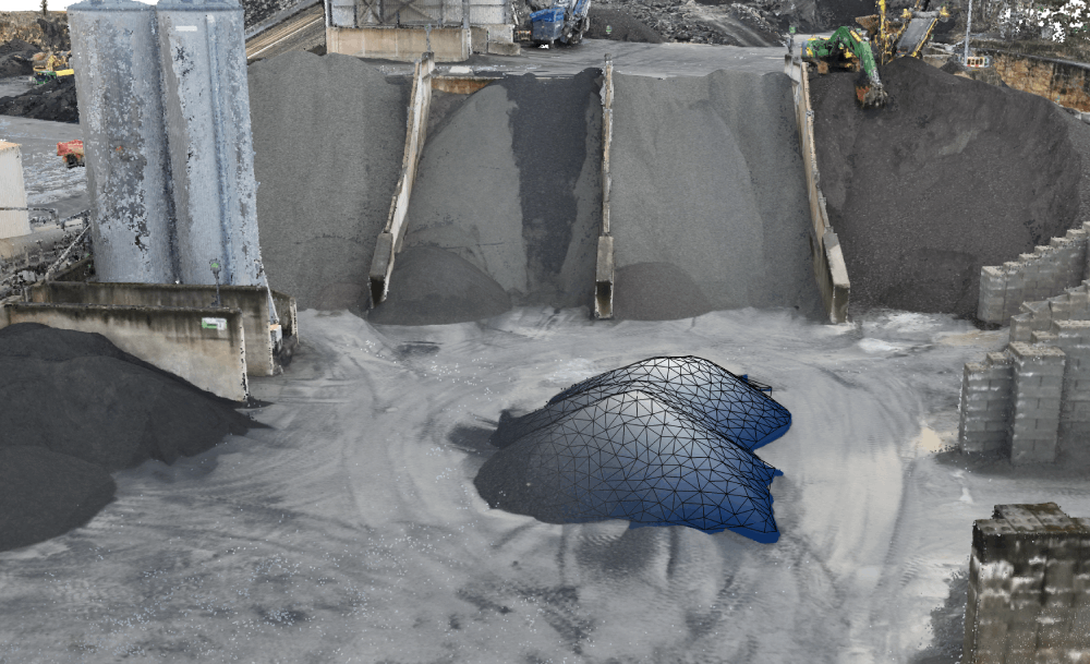
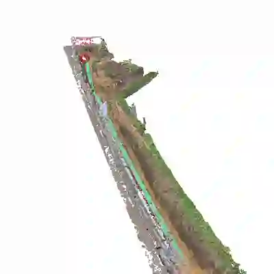
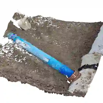
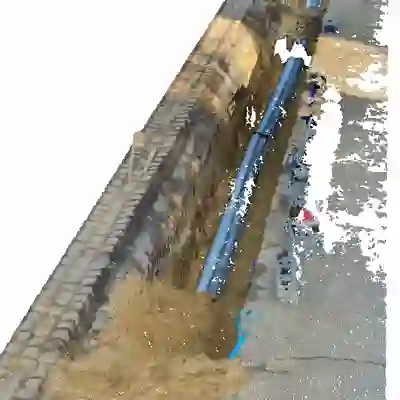
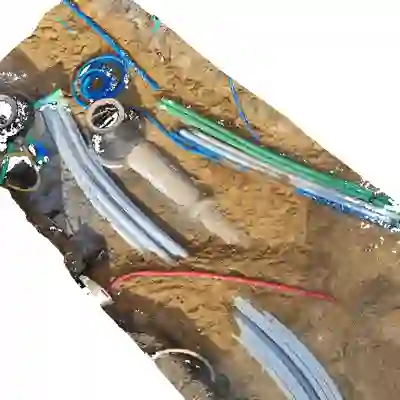
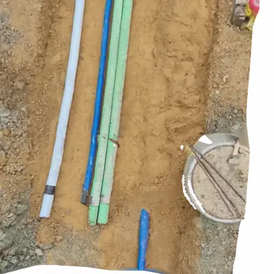
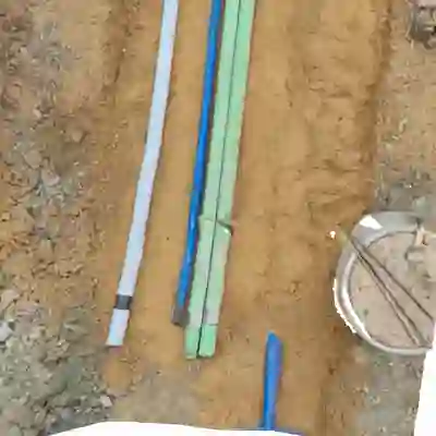
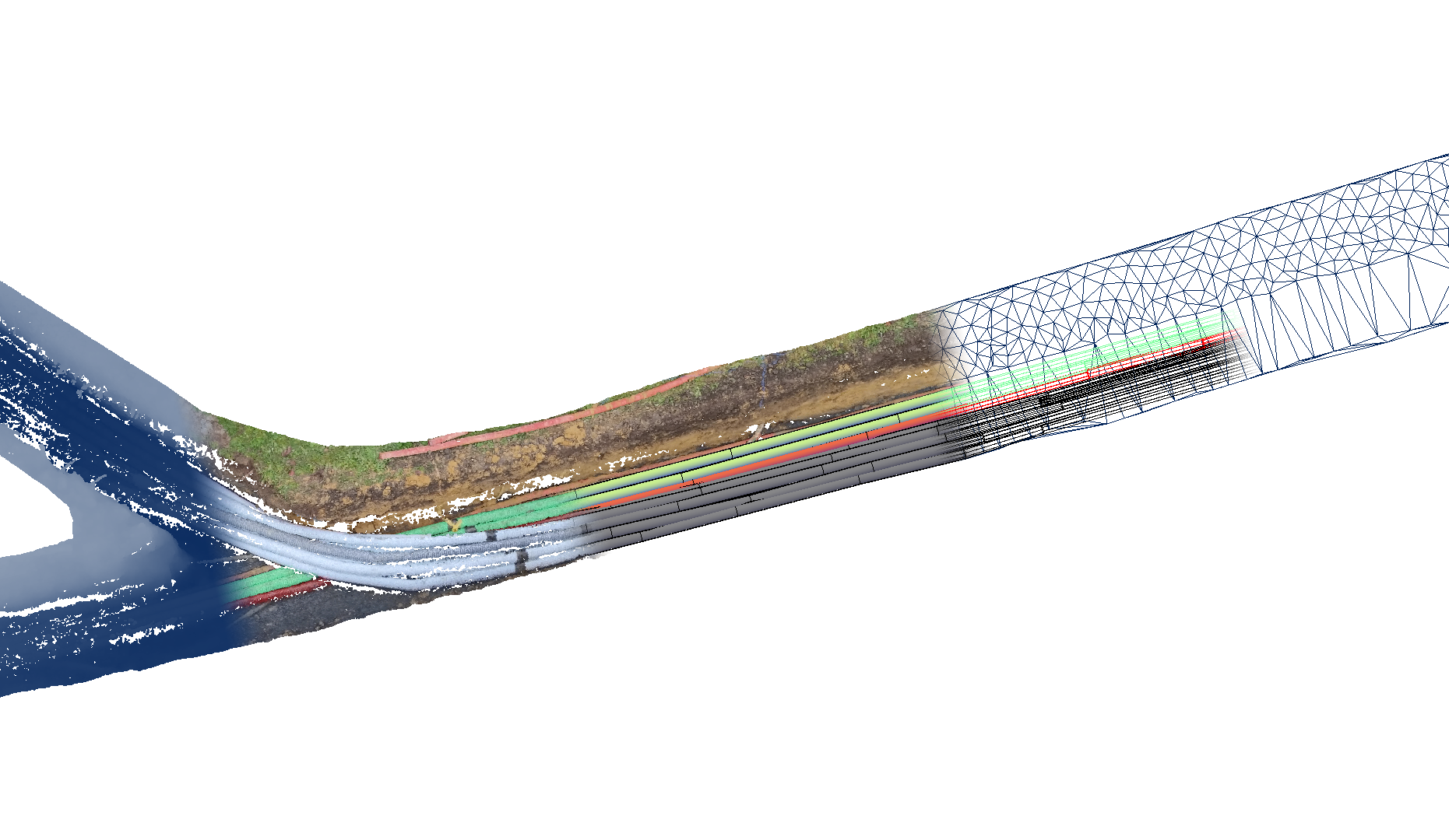
Luxsense Geodata s.à.r.l specializes in aerial surveying solutions for construction projects, delivering reliable 2D and 3D documentation to enhance your project management. Our experienced team of drone pilots conducts weekly flights over construction sites, capturing detailed imagery that is then transformed into precise orthophotos, elevation models and 3D point clouds. Determining the quantity of earthwork added or removed between acquisition dates is also part of our service, dependent on the client’s needs. Oblique shots for a quick aerial overview of your project can be requested as well. All acquired data is readily available for the customer to use shortly after the acquisition by drone, whilst we are readily available for any support inquiries.
References